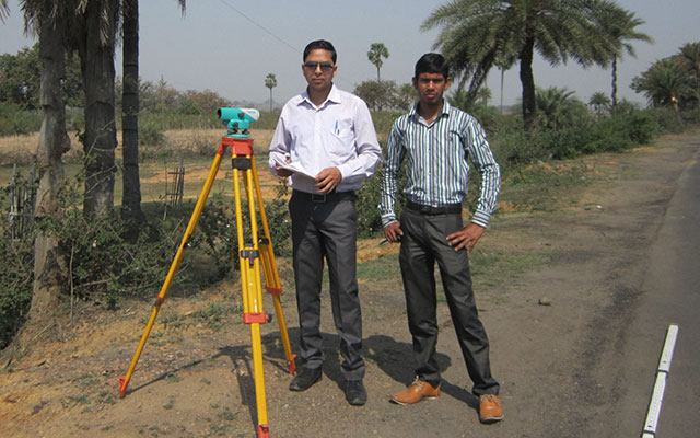


It is a modern surveying instrument that results cordinages of land with highest accuracy.
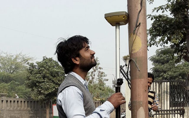
It is a professional tool use to establish or verify points in the same horizontal plane, also knowna as levelling.
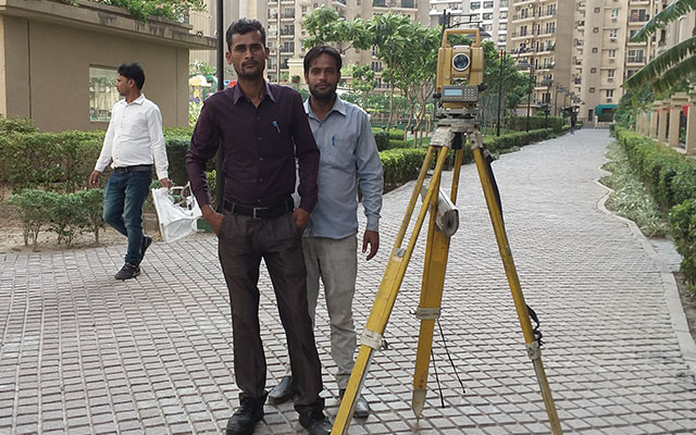
A DGPS Survey is used to establish control points and positional corections to land survey operations.

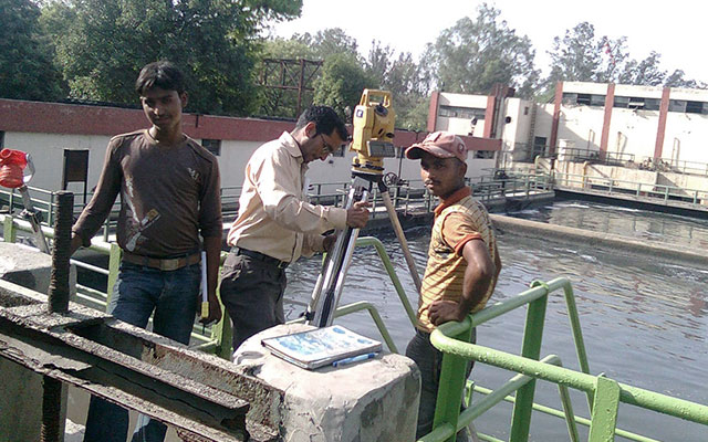
We provide Land Surveying Services to both private and government organizations. We are sortlisted by various organizations like ASI Delhi, Revenue Department Delhi, GNIDA Greater Noida, NTPC and more.
Read MoreA Topographical Survey is a Two Dimentional representation of what is happening in the real world.
It is the process of laying out construction plan and marking the locaion of purposed new structrus.
It is the process of determining elevation of points relative to a datom.
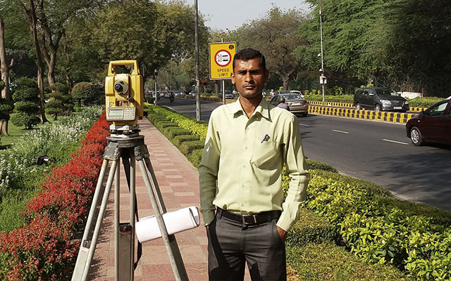
A road survey is carried out to provide an accurate layout of roadways and related utilities of the landscape.
Collect information about the location, distribution and organization of human cultures across a large area.
It includes soil testing and investigation to know the geology of the land.
We have a team of traind experts in the feild of land survey


 342
342
Completed Project
 323
323
Happy Clients
 67
67
Awards
 18
18
Total Engineers
A brief description what our clients thinks about us

The company has the best Land Surveying team in Delhi NCR, expertise in all types of land surveying techniques.

We are happy with their accuracy in work and worked with them for decades.

They have been reliable and coprative in all government projects done under GNID Authority.

We are working with them on various projects and found them to be faithful and worthy.