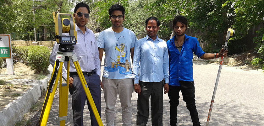
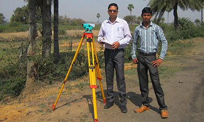
combination of Electromagnetic Distance Measuring Instrument and electronic theodolite. It is also integrated with microprocessor, electronic data collector and storage system. The instrument can be used to measure horizontal and vertical angles as well as sloping distance of object to the instrument.
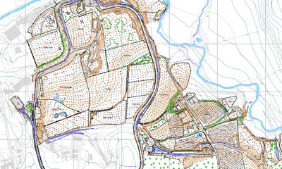
A Topographical Survey is a Two Dimentional representation of what is happening in the real world.

It is the process of laying out construction plan and marking the locaion of purposed new structrus.
It is the process of determining elevation of points relative to a datom.